http://celebrating200years.noaa.gov/datasets/charts/image5.html
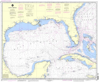
A nautical chart is very similar to a bathymetric map in that it shows the depth of the water, just in numerical form instead of graphical. Nautical charts are essential for any type of passage even though nowadays GPS are outsourcing them. This nautical chart shows the Gulf of Mexico and is 1:2,160,000 which is a very small scale for a nautical chart. Ones used for primary navigation are usually 1:10,000-1:80,000. This chart is significant to me as I have done much sailing in the Gulf.

No comments:
Post a Comment